Job title: GIS Officer
Organisation: Environment and Rural Development Foundation (ERuDeF)
Category: Non-Profit Ogranisation
Location/City: Dschang, West Cameroon
Reporting to: Manager of Mount Bamboutos Initiative (MBI)
Number of positions: one (1)
Deadline: open until filled
Background
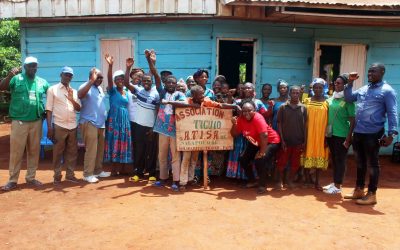
The Environment and Rural Development Foundation (ERuDeF) is a Cameroonian non-profit organization founded in 1999. It is the leading National Conservation Organisation in Cameroon. ERuDeF’s mission is dedicated to the conservation of biodiversity and protection of fragile environments through research, training, education and community engagement. She seeks to “Save Rainforests, Conserve Species, Impact lives”. The Mount Bamboutos Initiative (MBI), MBI is a 15 year initiative of the Environment and Rural Development Foundation (ERuDeF), International Tree Foundation (ITF) and other partners to restore the biodiversity and ecosystem functions of Mt Bamboutos while securing the livelihoods of the local and indigenous
ERuDeF is a highly intensive, academic and professional organisation with a very strong drive for excellence and multi-tasking.
Overview of Position:
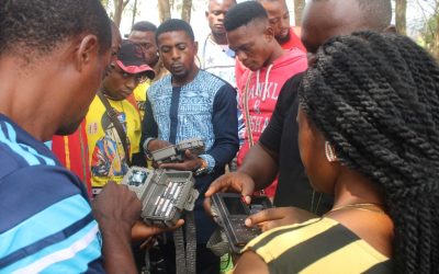
The GIS Officer reports to the MBI Project Manager and is responsible for the technical implementation of the GIS and remote sensing aspects of MBI and other ERuDeF Programmes. He/she will provide technical field support to the Programmes Department of ERuDeF.
Key responsibilities:
- Collect, store analyse manipulate and present complex geographical information in line with ERuDeF’s vision
- Produce maps and analyse data on all ERuDeF projects
- Monitor and ensure high quality and timely execution of all ERuDeF projects
- Suggest strategies to the Director of Programmes to improve the efficiency and effectiveness of all projects activities and develop plans to minimise or eliminate such blockage
Qualities and skills required:
- Ability to work and train using GIS software
- Familiarity with forestry and environmental issues
- Familiarity with at least one statistical software package
- Organisation and management skills
- Leadership and entrepreneur skills
- Oral and written communication skills
- Problem solving skills
- Attention to details
- Excellent computer skills
Desired behaviours
- Drive for results
- Task completion; reliable, committed to completing tasks
- Resilience; persistent, respectful, positive and self-resilient
- Accountable; drives outcomes by taking personal responsibility
- Working together with other, relate to people, engages and builds relationships
Required qualification and working experience:
- MSc in relevant environment field
- Two years of work experience with the use of GIS technologies
- Experience in analysis and design of projects using information technologies and GIS
- Good understanding of remote sensing methods and techniques
- Relevant knowledge of project management
Other duties:
How to apply: Application files consisting of:
- A C.V.
- Referee statements
- Copies of relevant Certificates
- An attestation of work experience and
- A motivation letter
All applications should be addressed to the Director of Administration and Human Resources ERuDeF P. O. Box 189 Buea, South West Cameroon or by e-mail to: info@erudef.org