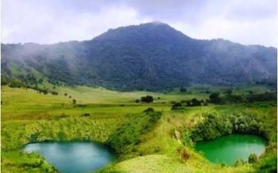
The Mount Bamboutos area is a cosmopolitan environment characterized by varied land use patterns which generate conflicts between farmers and grazers, farmers and farmers and between villages. Also the population is facing a decrease of agricultural yields, a lack of water, erosion etc. To meet these needs, it is necessary to introduce and establish land use and effective governance systems for the Mount Bamboutos ecosystem.
Local development plans and council development plans are elaborated in these villages, but do not take into consideration all of the natural resources. These plans are oriented to social infrastructures (education, health, hygiene and sanitation). The objective of this zoning plan is to provide a tool to help take biodiversity and the ecosystem into account in land use planning by defining the different zones of intervention.
Specifically it was about:
Identify and map the different land use types in a participatory manner
Define the different allocations (Zones) of the land use types that are agroforestry zones, agricultural zones, and conservation / protection zones.
The land use types identified in the area are: sacred areas, rural agricultural, animal rearing (pastoral) and grazing land, water bodies, vegetation/forest, quarry, rural build up and transportation
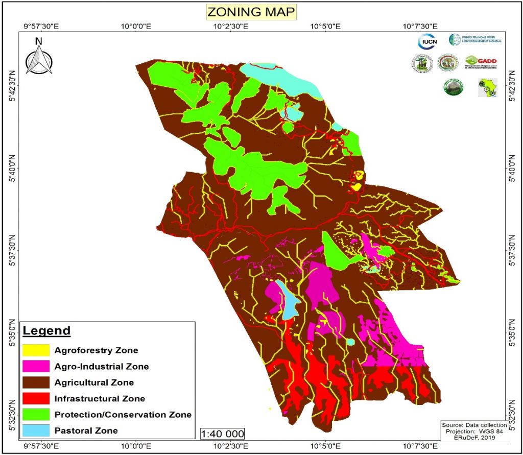
The land use types were grouped into 6 land use zones based on the consultation of local stakeholders and the ERuDeF’s restoration strategies. These are Protection / conservation zone, agroforestry zone, agricultural zone, pastoral zone, agro-industrial zone and infrastructural Zone
In Cameroon, the zoning that has been carried out relates only to the forest sector since 1993. Very few actions were carried out in the context of zoning in rural areas in a context of loss of biodiversity and degradation of natural resources. It was in 2011 that the law (n ° 2011/008 of 06 May 2011) on Land Management and Sustainable Development was enacted.
This Law, aims to integrate the management of national space within development policies, in order to give more visibility and method to land allocation; to balance the distribution of activities, infrastructures, equipment, services, and populations across